
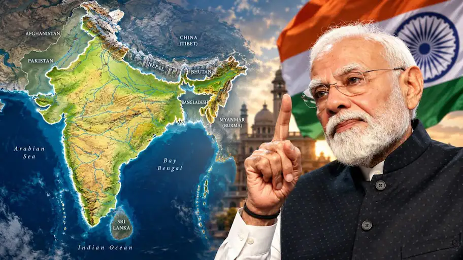
India has voted for a United Nations resolution encouraging more accurate world maps, but New Delhi has made its position on political boundaries clear. The resolution promotes equal-area maps that better show the true size of continents.
India said the move does not approve any one map or change borders, and its official map must be respected.
India voted in favour. The resolution encourages wider consideration of equal-area map projections. These maps are designed to show the relative size of land areas more accurately. The move is aimed at reducing the size distortion found in some widely used world maps.
The vote was 164 in favour, one against and six abstentions.
The United Nations General Assembly adopted the “Correct the Map: Rebalancing Global Cartographic Representation and Promoting Equitable Representation of the World’s Regions, Particularly Africa” resolution on September 4, 2026.
However, it makes areas closer to the North and South Poles appear much larger than they are. One common example is Africa and Greenland. On a Mercator map, they can look similar in size. Brazil is also much larger than Alaska, although the two can appear closer in size on some versions of the Mercator map. Equal-area projections address this problem by keeping the relative areas of landmasses accurate. India supported the principle behind the resolution but made clear that it was not choosing one specific projection. This means the vote should not be treated as an instruction to use one particular map system. The resolution does not redraw international borders. It also does not settle territorial disputes or establish a single political world map. The measure is focused on how the size of geographical areas is represented on maps. It is not a legal decision on sovereignty. New Delhi has consistently maintained that Jammu and Kashmir and Ladakh are integral parts of India. The Ministry of External Affairs has repeated this position in responses to questions about international references to the two Union Territories. India’s position is that any depiction of its territory must follow its official map. The Ministry of External Affairs lists Jammu and Kashmir and Ladakh among India’s Union Territories. In simple terms, India is saying that a change in the way the size of countries and continents is shown must not be treated as a change in political boundaries. The UN vote could encourage governments, schools, publishers and technology companies to consider equal-area projections when the main purpose of a map is to compare the size of regions. However, the resolution does not mean that the Mercator projection will suddenly disappear. It remains useful for purposes such as navigation, where preserving direction has particular value. New Delhi supports maps that give a more accurate picture of the relative size of the world’s landmasses, but it does not want that effort to be confused with political cartography. Its position on the depiction of Jammu and Kashmir and Ladakh remains separate and firm.
Because it keeps lines of constant direction straight, the Mercator projection was created in the 16th century and became important for navigation. They can therefore give readers a better sense of the actual size of different regions. Because maps can also carry political meaning, this distinction is important for India. India therefore supported the equal-area principle while keeping its position on sovereignty separate from the map-projection issue. For India, the message is therefore twofold.
In reality, Africa is about 14 times larger than Greenland.
Indian diplomat Raghoo Puri said the resolution should allow countries, institutions and cartographers to select the projection that best suits their needs. “We believe that the resolution should be understood as supporting the broader use and consideration of equal-area map projections and not as endorsing the Equal Earth projection or any other specific map projection,” Puri said. India also said that the resolution should remain technologically and methodologically neutral.
