
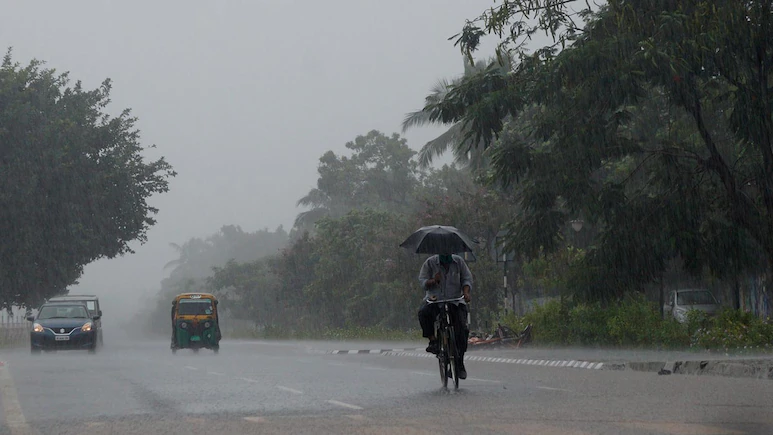
The India Meteorological Department (IMD) has forecast heavy to extremely heavy rainfall in parts of eastern and southern India, while Delhi-NCR is likely to remain largely dry on Tuesday, September 22.
The weather situation is expected to be most severe in Odisha, where a deep depression developing over the Bay of Bengal is likely to bring intense rainfall.
Unlike several eastern and southern states, Delhi-NCR is unlikely to see significant rainfall on Tuesday. Several parts of India are also likely to see rain and thunderstorms over the next few days as a weather system over the Bay of Bengal becomes more organised. The weather situation is expected to be most severe in Odisha, where a deep depression developing over the Bay of Bengal is likely to bring intense rainfall. Different districts have been placed under red, orange and yellow alerts. Kerala is also likely to remain wet during the week. Isolated heavy rainfall has been forecast in Pathanamthitta, Kottayam, Alappuzha, Ernakulam, Idukki and Thrissur. The IMD has advised people living in areas vulnerable to waterlogging and landslides to remain cautious and follow directions issued by local authorities. The weather system is expected to affect several other parts of the country as well. The national capital and nearby areas, including Noida, Gurugram, Ghaziabad and Faridabad, are expected to remain largely dry in the coming days as the southwest monsoon withdraws from northwest India. The weather could become more active towards the end of the week. The ongoing weather changes are largely linked to the developing system over the Bay of Bengal.
The system is expected to move towards the South Odisha-North Andhra Pradesh coast and reach the west central and adjoining northwest Bay of Bengal near the coast around the morning of September 23. The weather body has issued a red alert for extremely heavy rainfall of more than 20 cm in Kandhamal, Gajapati, Ganjam and Puri for September 23. For September 24, Kalahandi, Kandhamal and Rayagada are under a similar red alert. Rainfall activity is expected to continue in Odisha through September 27. Read: 6 Dead, Several Missing As Landslides, Flash Floods Hit Keralam The developing system is also likely to make conditions rough along the Odisha-Andhra Pradesh coast. Squally winds with speeds of 55-65 kmph are expected along and off the South Odisha-North Andhra Pradesh coast from September 23 to the evening of September 24. Over the west central and adjoining northwest Bay of Bengal, winds could reach around 75 kmph on September 23 and continue until the evening of September 24. The IMD has advised fishermen to stay away from the Andaman Sea during the period of bad weather until September 21 and the east central and adjoining northeast Bay of Bengal until September 22. A separate warning is in place for the west central and adjoining northwest Bay of Bengal, as well as the Andhra Pradesh, Odisha and West Bengal coasts, from September 22 to 24. Several parts of the state may receive light to moderate rain between September 21 and 25. Assam and Meghalaya may witness thunderstorms and lightning on September 22, followed by heavy rainfall between September 23 and 25. Sub-Himalayan West Bengal and Sikkim could also see thunderstorms, lightning and squally conditions on September 22. Heavy rainfall is likely on September 23 and 24, while very heavy rain is possible on September 25. East Uttar Pradesh is expected to see an increase in weather activity from September 24, with heavy rain, thunderstorms, lightning and squall-like conditions. Similar conditions may develop over West Uttar Pradesh from September 25. The IMD has forecast thunderstorms, lightning and squall-like conditions over Haryana, Chandigarh and Delhi between September 25 and 27.
