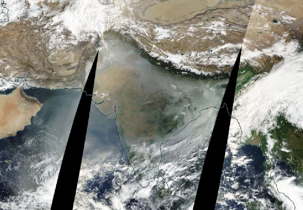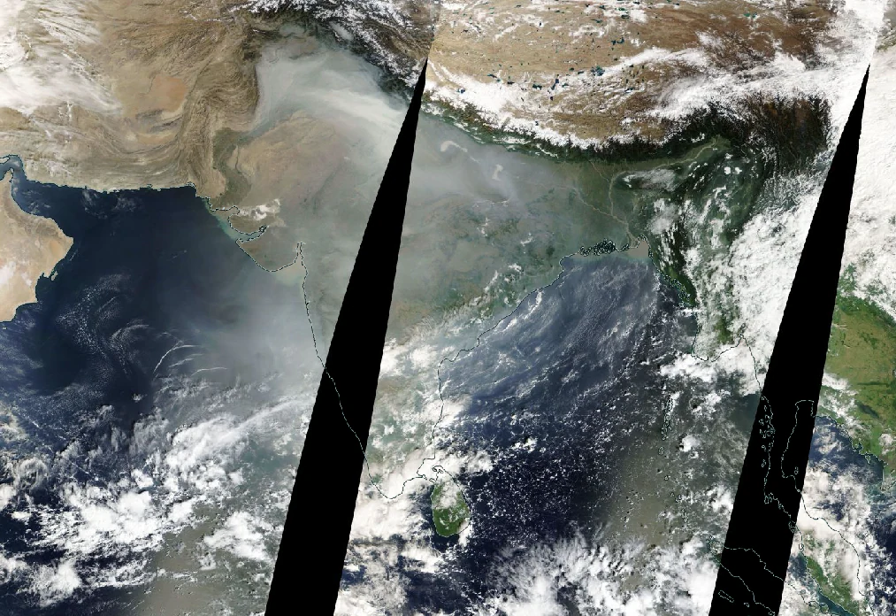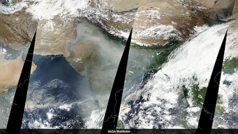
The toxic haze that has taken over much of northern India amid dropping temperatures, an annual event now, is so intense that it is visible from space.
A satellite view from the National Aeronautics and Space Administration (NASA) Worldview, an interactive web-based mapping and visualization tool, shows much of India covered in a thick, grey blanket on November 10. Satellite view of India on November 9 by NASA Worldview On November 8 – the day of Diwali, when much of India celebrates with firecrackers that trigger an immediate spike in air pollution – Delhi, western Uttar Pradesh, and other northern regions were smothered in a heavy shroud, as captured by satellites. READ | Data Blindspots, Weak Rules: Inside Delhi’s Annual Battle For Clean Air Satellite view of India on November 8 by NASA Worldview Two days after Diwali, the air quality in the national capital improved a bit on Tuesday and entered the ‘poor’ category with an AQI of 299, according to data from the Central Pollution Control Board (CPCB).
READ | “Even When There Is No Stubble Burning…”: AAP Attacks BJP Over Pollution